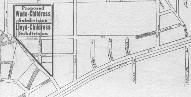
McCausland to Louisville
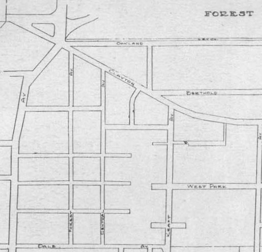
Oakland to Dale
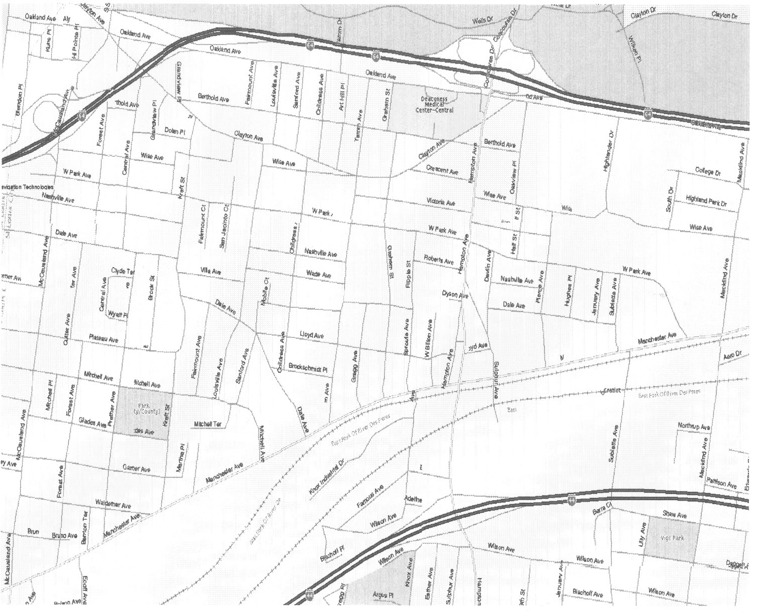
Louisville to Billon (Hampton)
Oakland to Wade
Note that Tamm Ave. is about in the center of this map
The cross streets are Oakland at the top, the Berthold, Clayton, Wise and West Park.
Then Nashville is named and Wade is the last street.
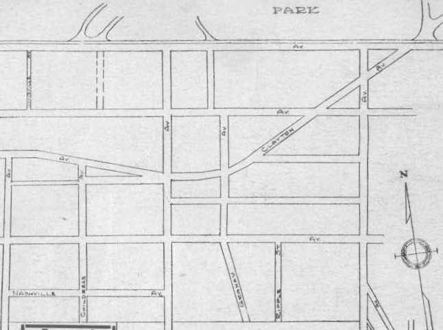
Of special note in this section is where Clayton Ave. comes into Dogtown out of Forest Park. It doesn't come down Oakland Ave. as it does now, but cuts much more directly across Forest Park. This is consistent with other maps of the time.
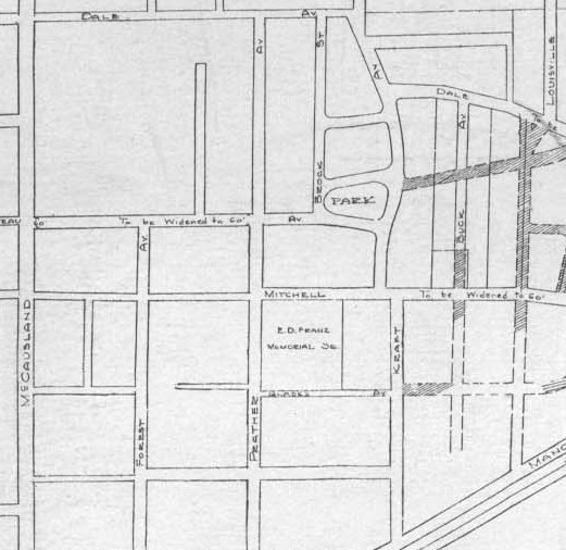
McCausland to Louisville
Dale to Manchester
Note that Franz Park is noted on the map
Also plans were there to widen both Mitchell and Plateau
There was a planned small park at the corner of Brock and Plateau
And there were some streets going east that were planned but never were cut.
Louisville to Billon (Hampton)
Manchester to Dale
